Showing posts with label Ukraine. Show all posts

Saturday, April 18, 2020

Interpreting History of Rusyn Villages based on Church Schematismus Data

Have I mentioned how much I love Archive.org lately? It's so good! There's so much incredible information for those willing to sift through it. I don't remember how, but I found a number of Schematismus books for the Diocese of Munkacs, Hungary. The Diocese of Munkacs is now known as the Greek Catholic Eparchy of Mukachevo, and is in today's Ukraine. It used to include parts of eastern Slovakia, but today only includes Zakarpattia Oblast, Ukraine. These books detail information on each of the Greek Catholic churches, the village, etc.


Research Subjects

Both of my Rusyn ancestors attended churches in that diocese, in the late 1800s and early 1900s. I thought it would be interesting to see what I could learn about their villages from these church records.The villages are 50km apart (approximately 30 miles):
  • Kalna Roztoka, Slovakia - Current population: 615 [1]
  • Lyuta, Ukraine - Current population: 2412 [2]

Data Collection

In total, I found 32 books on Archive.org, ranging from 1814 to 1915. On average, there were 3 years between each book. I set up a spreadsheet to collect data for each village, including the following:
  • Year
  • Link
  • Village Name
  • Page #
  • Priest's Name
  • Administrator's Name
  • Cantor's Name
  • Church Name
  • # of People 
  • # of People in Other Branches
  • Total # of People
  • Church Name (Other Branch)
  • # of School Children
  • Other Notes
  • District
This is the majority of what can be found in the books. A comprehensive look would want to translate the descriptions and capture additional data, such as whether the village had a train station or post office. Amenities like these were identified with a symbol.

Results

I found it interesting to learn the names of the priests in each village. The priest in Kalna Roztoka in 1915 was Basilius Lyachovics. I have a 1933 letter from him to my great-grandmother, providing the birth and death dates for my great-great-grandparents, and asking her to send money to help care for her sister. In a separate post, I might look into the average length of time priests stayed at these two villages.

One of the most interesting, quantifiable changes over this 100 year period is the population of each village. This chart highlights the largest changes. The image below has the population colorized on a scale of red-yellow-green, where red is lowest and green is highest.


This raises the question: what happened circa 1856, that Kalna Roztoka lost 50% of their village population, and Lyuta lost 17%, in the prior 9 years. Or in 1836 when Kalna Roztoka lost 28% of their village population, and Lyuta lost 25%, in just 1 year.

Here's another view of the population changes:

Data on European Epidemics, Famines, and Weather

I'm writing this blog post while under a Stay At Home order for the COVID-19 pandemic, but I started work on this post in Fall 2019, before the virus was on anyone's radar. At that time I found it interesting how much information there is on historical climate-related disasters, pandemics, and famines. Now I have a different perspective, as we are living through a modern-day pandemic. The situation is eerie.

While I was unable to find any documentation of specific disasters, famines, or epidemics in either Kalna Roztoka or Lyuta, I did find some related information.

Lyuta is on the other side of the mountain crest from Austrian Galicia. It seems logical that a famine in Galicia could indicate difficult times on the other side of the mountains as well. The Wikipedia article on Famines in Austrian Galicia [3, 4] notes famines in 1832, 1853-1855.

The Wikipedia List of Epidemics [5] shows a global epidemic from 1855-1860: the 3rd (Bubonic) plague pandemic.

I looked into potential climate-related disasters, but had a hard time finding specific data. This website has some interesting climate observations: https://www.tambora.org/index.php/grouping/event/list?g%5Bqt%5D=&t%5Byb%5D=1800&t%5Bye%5D=1954&s%5Bcn%5D=9934&sort=t.begin&mode=search&page=14 If anyone has climate data for the 1800s, let me know!

Sources

  1. Kalna Roztoka Wikipedia Article: https://en.wikipedia.org/wiki/Kaln%C3%A1_Roztoka
  2. Lyuta Wikipedia Article: https://en.wikipedia.org/wiki/Liuta
  3. Famines in Austrian Galicia: https://en.wikipedia.org/wiki/Famines_in_Austrian_Galicia#Chronological_occurrences
  4. Excerpt from "Oil Empire" by Alison Fleig Frank mentioning Galician famines: https://books.google.com/books?id=jNaFc1OdN-QC&pg=PA45#v=onepage&q&f=false
  5. List of epidemics: https://en.wikipedia.org/wiki/List_of_epidemics

Monday, March 10, 2014

Map: Uzhgorod's Problem Spots

Uzhgorod.in recently shared a map of problem spots that have been identified within the city of Uzghorod.  I wanted to share it here because I think it's a great way to engage people in the community, and to have citizens and local government work together to make things better (in this case: poor lighting, potholes, drainage problems, etc).

Here's the map:


Google Chrome should automatically offer to translate the page if your language isn't set to Ukrainian.

If you are in Uzhgorod and would like to suggest an addition/edit to the map, the article on Uzhgorod.in contains a link to do so.

Wednesday, July 13, 2011

Alcohol From A Country That Doesn't Exist

Transnistria!
Since first hearing about Transnistria a few years ago, I have been fascinated by it.  It's a breakaway territory in Moldova, along part of the border with Ukraine.  To over simplify it, in the early '90s Transnistria decided it was no longer part of Moldova, and Moldova disagreed.  (Transnistria had previously claimed to be part of the USSR, but then the USSR fell and Transnistria was stuck with Moldova.) The cease-fire in 1992 seems to pretty much let Transnistria think of itself as independent while not actually being such.  According to wikipedia, "It is organized as a presidential republic, with its own government, parliament, military, police, postal system, and currency. Its authorities have adopted a constitution, flag, national anthem, and a coat of arms."  Locally the country is called Приднестровская Молдавская Республика (Pridnestróvskaia Moldávskaia Respública aka PMR).

Transnistria!

Desolation Travel, easily one of my favorite blogs, has two articles on Transnistria.  They also have a far better look at the country, its history, its current state, etc.  Check them out here and here.

KVINT
Since the place is a bit of an abnormality, I decided that I need to try its most famous export: KVINT.  (A noble sentiment for sure.) KVINT is a wine and brandy distillery in Tiraspol, the capital of Transnistria.  According to their website their name is an abbreviation of "Коньяки, вина и напитки Тирасполя", the Russian phrase for "Brandies, Wines and Beverages of Tiraspol".  You can tour the factory in Tiraspol... but I'm in the United States with no current plans to travel to Transnistria.  So begins my quest for KVINT!

Where exactly does one find brandy from Transnistria in the US?  There are two phone numbers of US distributors on their website, but no one seems to answer them... ever.  I sent an email to the one on the east coast, which happened to be about an hour from my house at the time, and a few days later they did get back to me asking what I'm looking for and in what quantities.  But just prior to receiving that email, I found information on a wine store in New Jersey that listed KVINT on its website... Sounds promising!

I called the store to verify that they did indeed have a KVINT product in stock, they said yes, I hopped in my car, drove an hour-ish to the store, asked the store employee where I could find KVINT (since he previously told me they had it), and we were off to the Cognac aisle!  Mr. Liquor-Store-Employee pulled a dusty bottle from the back of the bottom shelf and handed it to me.  KVINT?  No.  No?  No.  It didn't have the name KVINT, the company logo, or any other related information on the bottle.  Failure.  I left thoroughly disappointed.

Still Searching...
So now I'm back to emailing the two contacts listed on the website, hoping for a reply.  And if that doesn't work, there are some shady websites claiming to have it available!

Anyone have any other ideas?  Or perhaps know of a place I can buy this brand?

If nothing else, the lack of organization and ease of doing business with this company is giving me a lesson in Eastern European patience.  If it's this hard to track down Transnistria's main export, I imagine other common scenarios are equally difficult to accomplish there!

Friday, April 8, 2011

StreetView (sorta) in Russia and Ukraine

Google doesn't yet provide StreetView imagery in Russia or Ukraine, but Yandex does!  Yandex currently has StreetView-like "Panoramas" for 40 cities in Russia, and 31 in Ukraine.  Behold:

 Murmansk, Russia

Uzhgorod, Ukraine

Thursday, May 20, 2010

A Brief Comparison of Eastern European Languages

My genealogical research involved the Rusyn people in Eastern Europe. While they have their own language, so does everybody else in that neighborhood! This means that looking at old maps and church documents becomes a crash course in learning a few key words in multiple languages. You quickly begin to see how place names evolved over time, depending on the ruling country of the day. I was curious to compare several of the languages that exist in Rusyn areas. Since place names aren't exactly universal, it makes comparing languages pretty sticky. Since churches are quite vital to genealogical research [they held the records!], I decided to compare the word "church".

Disclaimer time! I don't speak these languages... so Google Translate is my source. So all credit/blame goes to them. :)

Here is a comparison of "church" in Rusyn to "church" in a variety of other languages from nearby countries. Transliteration of words in Cyrillic are in parentheses after each word.
Rusyn
цирков (cyrkov)
Bulgarian
църква (tsŭrkva)
Croatian
crkva
Czech
kostel
Estonian
kirik
Finnish
kirkko
Galician
igrexa
Hungarian
templom
Latvian
baznīca
Lithuanian
bažnyčia
Norwegian
kirke
Polish
kościół
Romanian
biserică
Russian
церковь (tserkov')
Serbian
црква (crkva)
Slovak
kostol
Slovenian
cerkev
Swedish
kyrka
Ukrainian
церква (tserkva)

I was very surprised to see how different the Czech and Slovak words are from Rusyn, especially when considering their proximity to the Rusyn area [Rusyns live in Slovakia and Ukraine] and the fact that a lot of Rusyn words are very similar to their counterparts in Czech/Slovak. No surprise here: the Rusyn word is very similar to Russian and Ukrainian.

I ended up including the Baltic States because of how similar some of their words are to the Romanian word for church. Unexpected!

As always, Hungary is an outlier. :-P

I'm sure you're wondering why I included Galician, as it clearly has nothing to do with anything I'm talking about. I included it simply to point out that the Galician language in Google Translate refers to Galicia in Spain, not Galicia the historic area in Eastern Europe.

To help visualize these variations, I threw together a map:

Fascinating, no?!

Wednesday, February 17, 2010

Google Maps and Ukraine

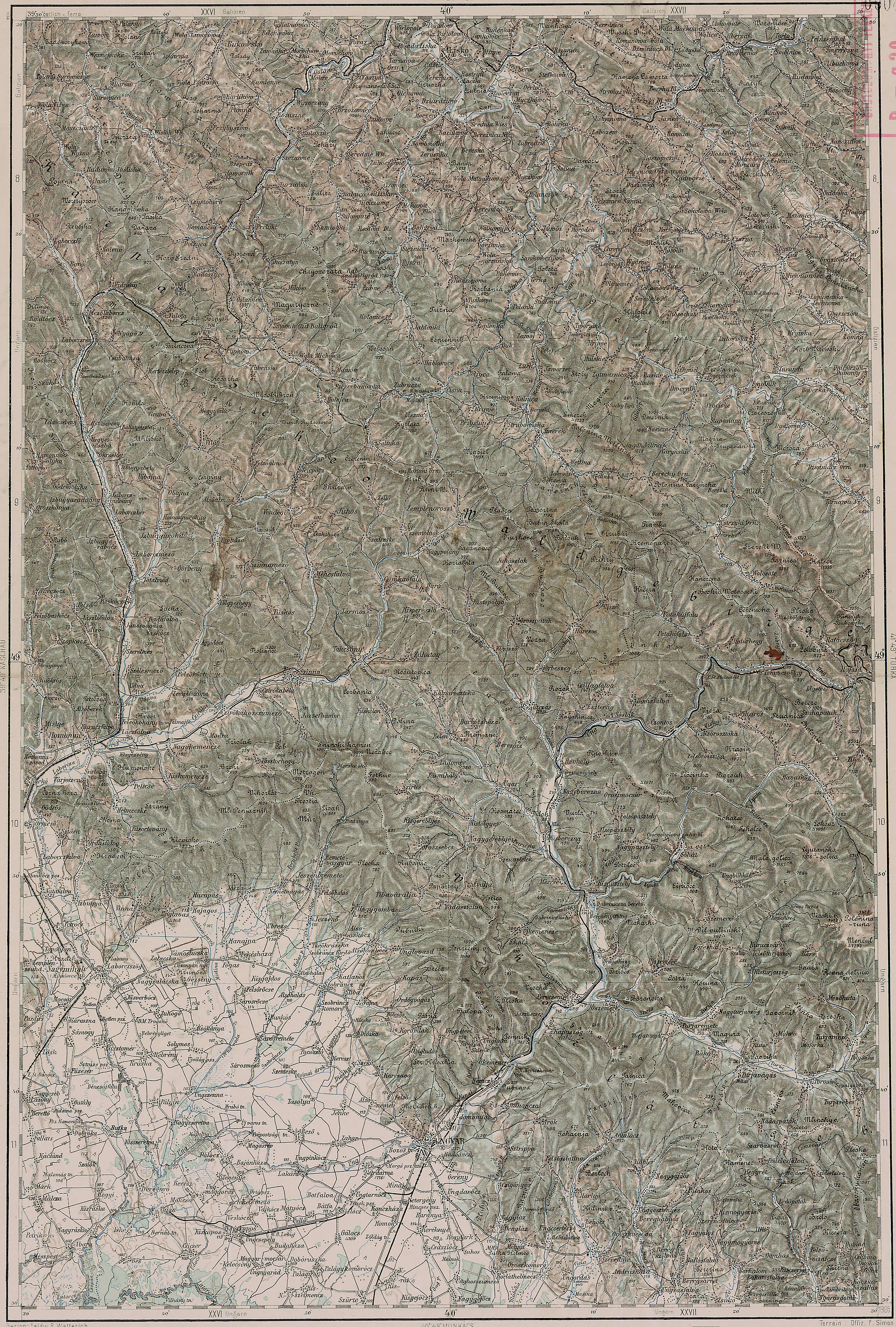
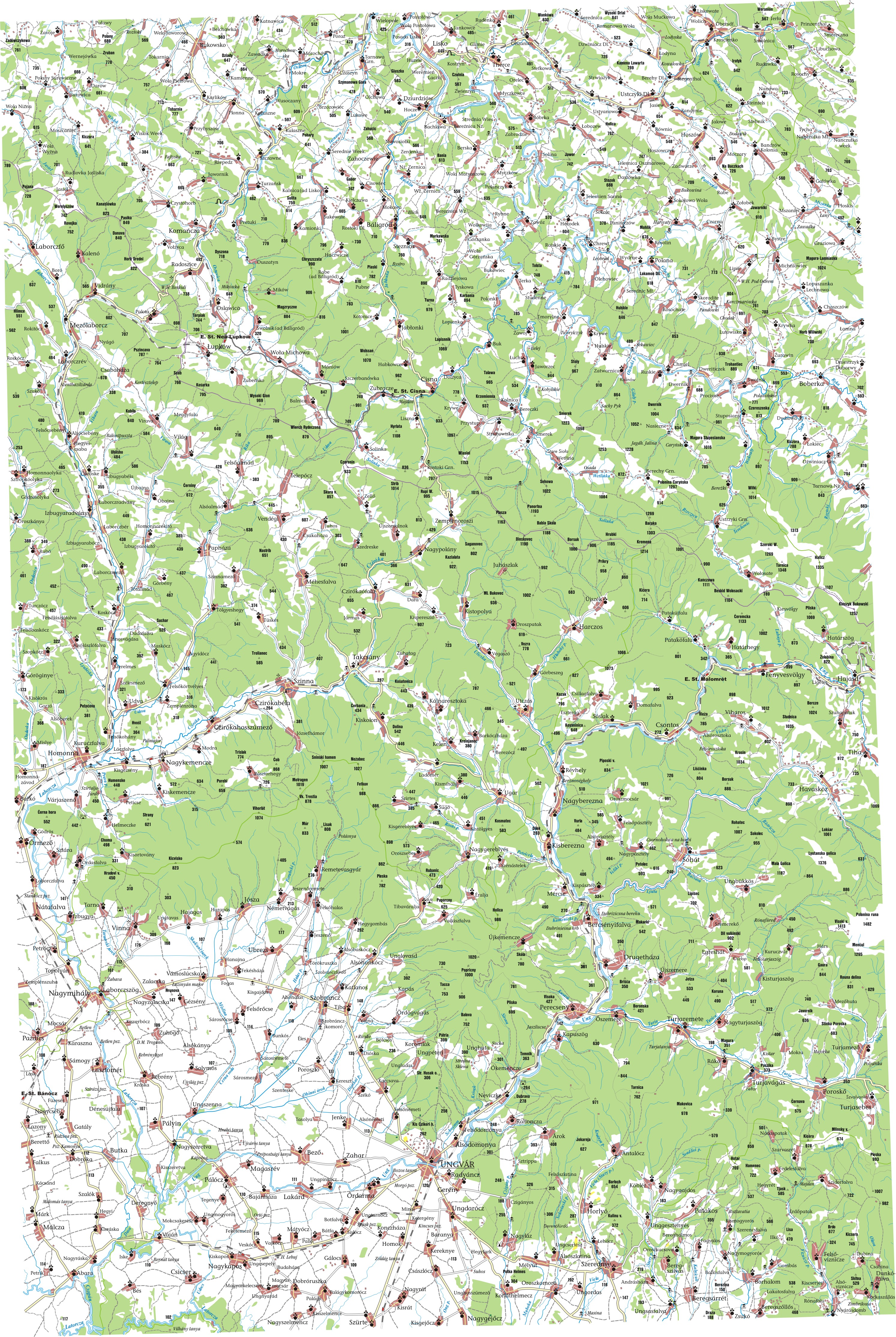
About five years ago I started researching my family's genealogy, and I found myself searching for information on remote villages in Eastern Europe. There was a lot of information to be found on villages in the Slovak Republic, Poland, Slovenia, etc, but Ukraine remained mysterious. There was virtually no Ukraine data in Google Maps, and Yahoo! Maps provided only major roads and cities. After the easy route turned out to be a dead end, I began looking at historic maps from the Austro-Hungarian Empire. Some of these maps provided great information about the geography of the area I was researching, and some had been redrawn to provide a better look at populated places.


Five years later, it looks like Google is finally adding Ukraine data!  Take a look at Uzhgorod, the capital of Zakarpats'ka Oblast! Such detail!


View Larger Map


I noticed today that hi-res satellite imagery is inching up on Ljuta, which was a village of particular interest to me.


View Larger Map


For some extra eyestrain, try to find Ljuta on the maps I linked to in the first paragraph [or anywhere else in the Austro-Hungarian Empire]! In Hungarian, Ljuta is called Havasköz.