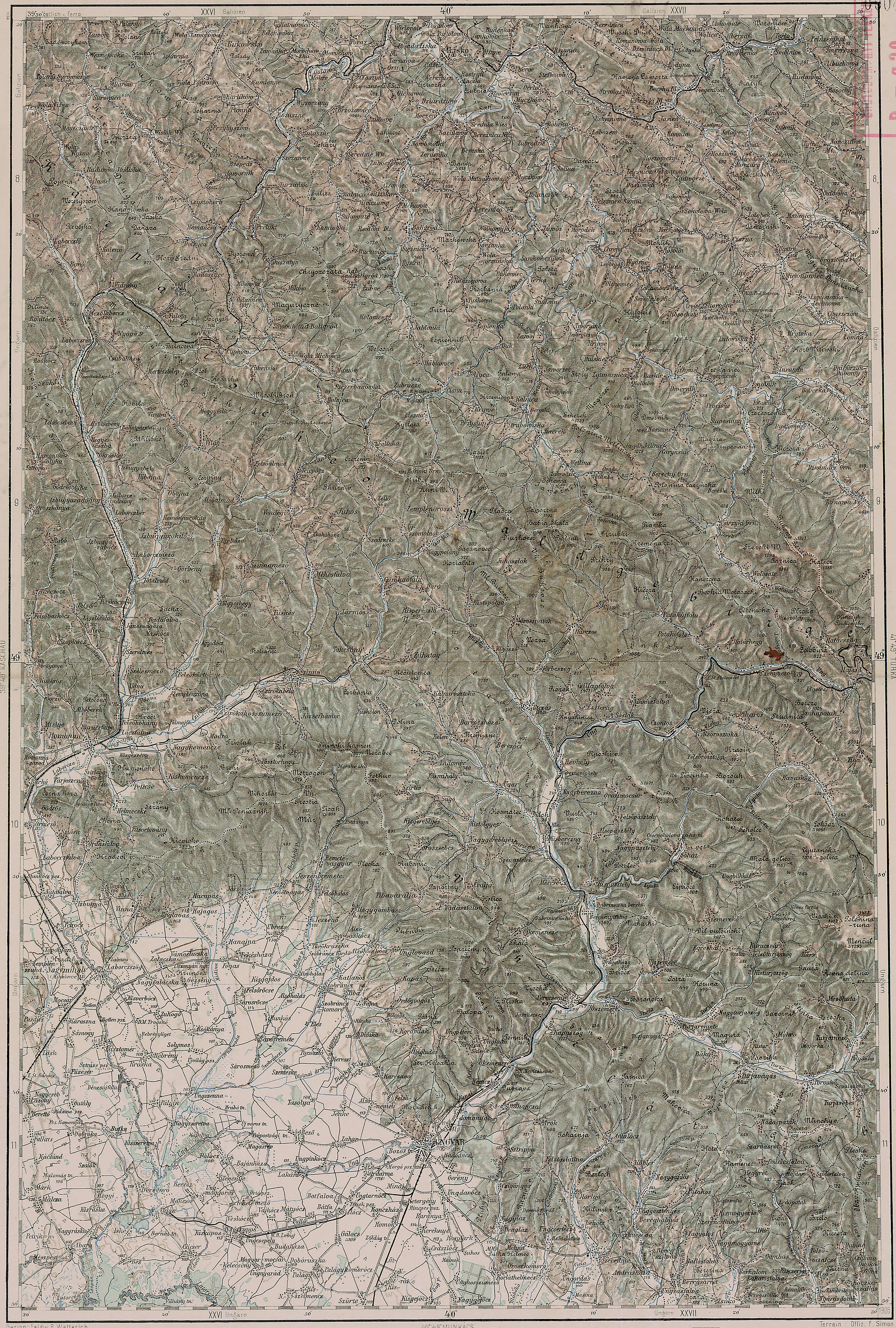
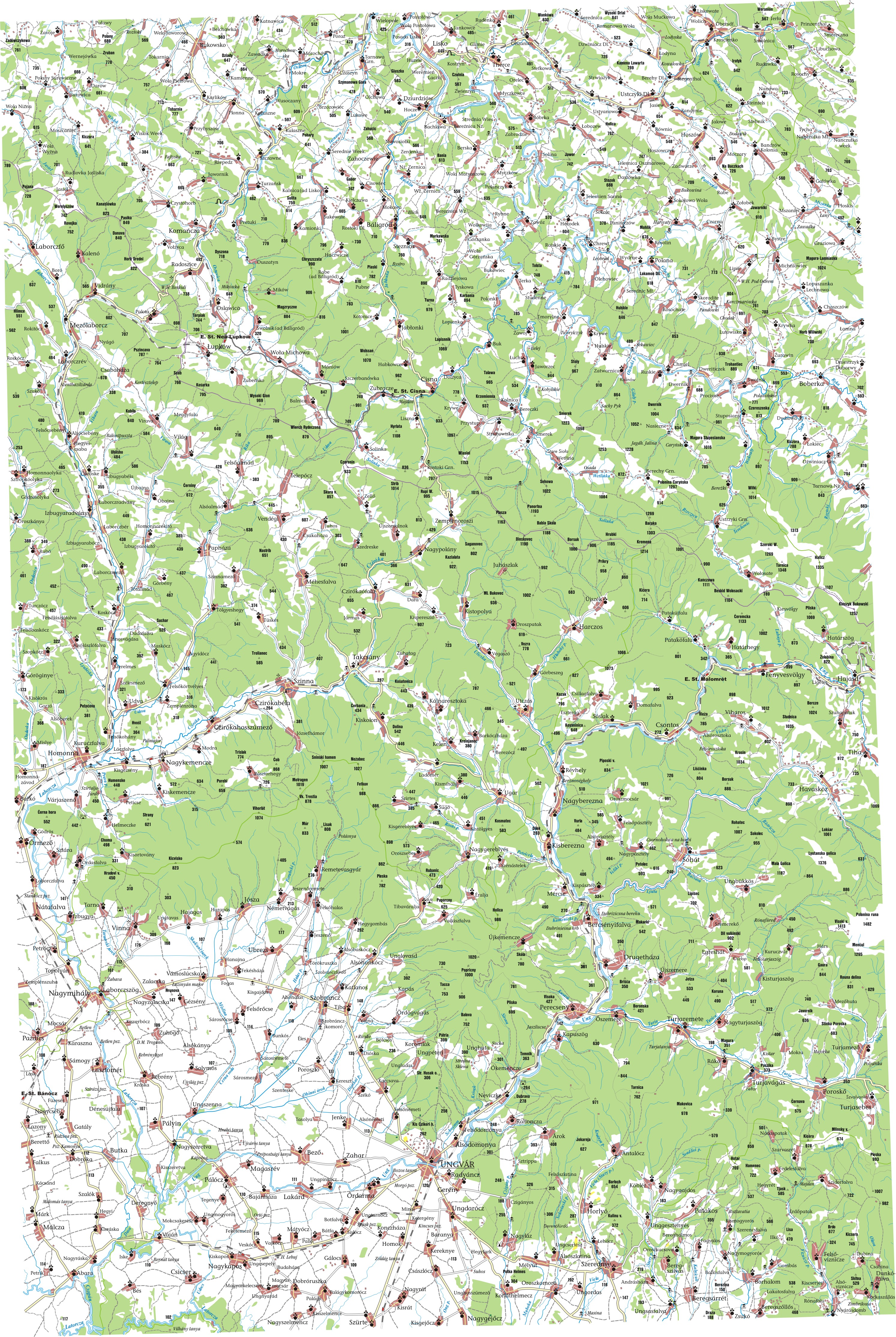
About five years ago I started researching my family's genealogy, and I found myself searching for information on remote villages in Eastern Europe. There was a lot of information to be found on villages in the Slovak Republic, Poland, Slovenia, etc, but Ukraine remained mysterious. There was virtually no Ukraine data in Google Maps, and Yahoo! Maps provided only major roads and cities. After the easy route turned out to be a dead end, I began looking at historic maps from the Austro-Hungarian Empire. Some of these maps provided great information about the geography of the area I was researching, and some had been redrawn to provide a better look at populated places.
Five years later, it looks like Google is finally adding Ukraine data! Take a look at Uzhgorod, the capital of Zakarpats'ka Oblast! Such detail!
View Larger Map
I noticed today that hi-res satellite imagery is inching up on Ljuta, which was a village of particular interest to me.
View Larger Map
For some extra eyestrain, try to find Ljuta on the maps I linked to in the first paragraph [or anywhere else in the Austro-Hungarian Empire]! In Hungarian, Ljuta is called Havasköz.

No comments:
Post a Comment